An anti-clockwise circumnavigation of the Isle of Wight over the Easter holiday weekend covering 97.5km in 2.5 days, including crossing The Solent twice, some wild camping and a few Easter eggs.
Leaving the Good Friday traffic behind, the CKC expedition slipped into the harbour at Keyhaven mid afternoon under blue skies and gentle winds (F2).
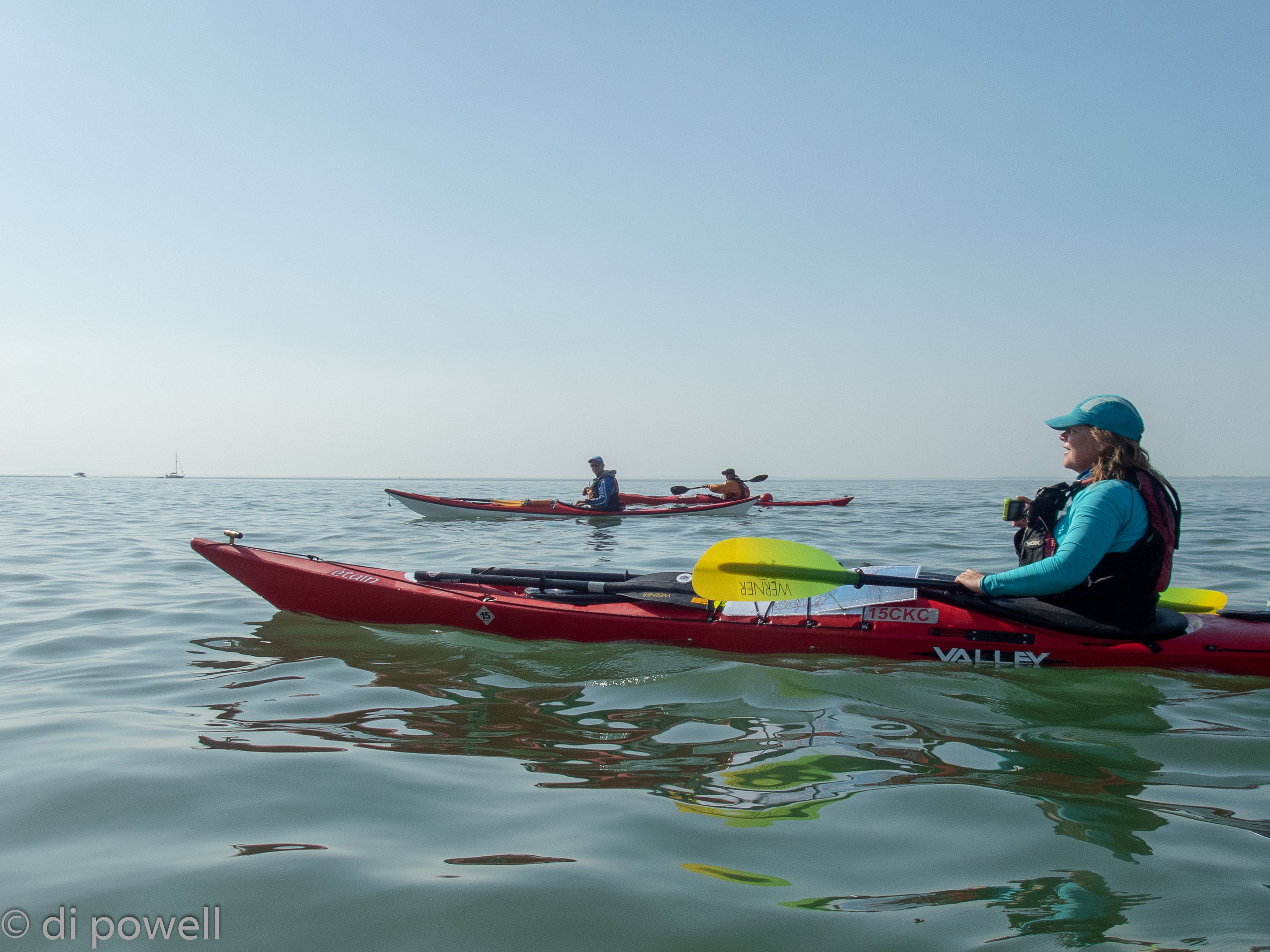
Following the winding course through the Keyhaven Lake tidal marshes to the harbour entrance, we came alongside Henry VIII’s massively long Hurst Castle. Where the harbour water and the Solent met, the well-known tidal race (called the Trap) had formed, jostling us for a few minutes as we crossed it into the smoother main flow of The Solent’s west channel. In the distance we could see the iconic The Needles and with a relatively strong tidal flow assisting us, headed south westerly to Hatherwood Point at the top of Alum Bay. In Alum Bay the wind dropped to F1 and the sea took on a glassy look:
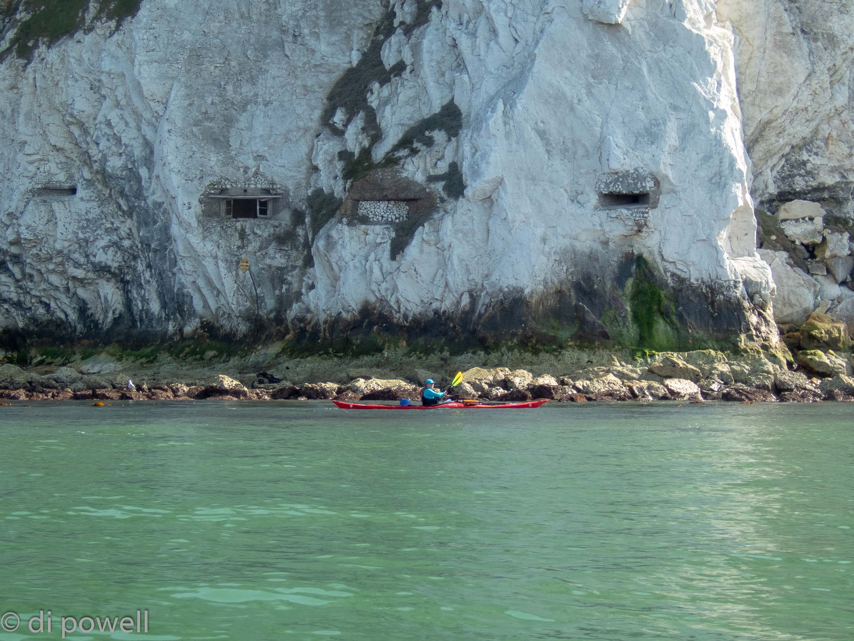
After examining the famous marmotino multi-coloured cliffs and chair lift of Alum Bay we continued south west along the White Cliffs and saw some strange holes in the cliff face:
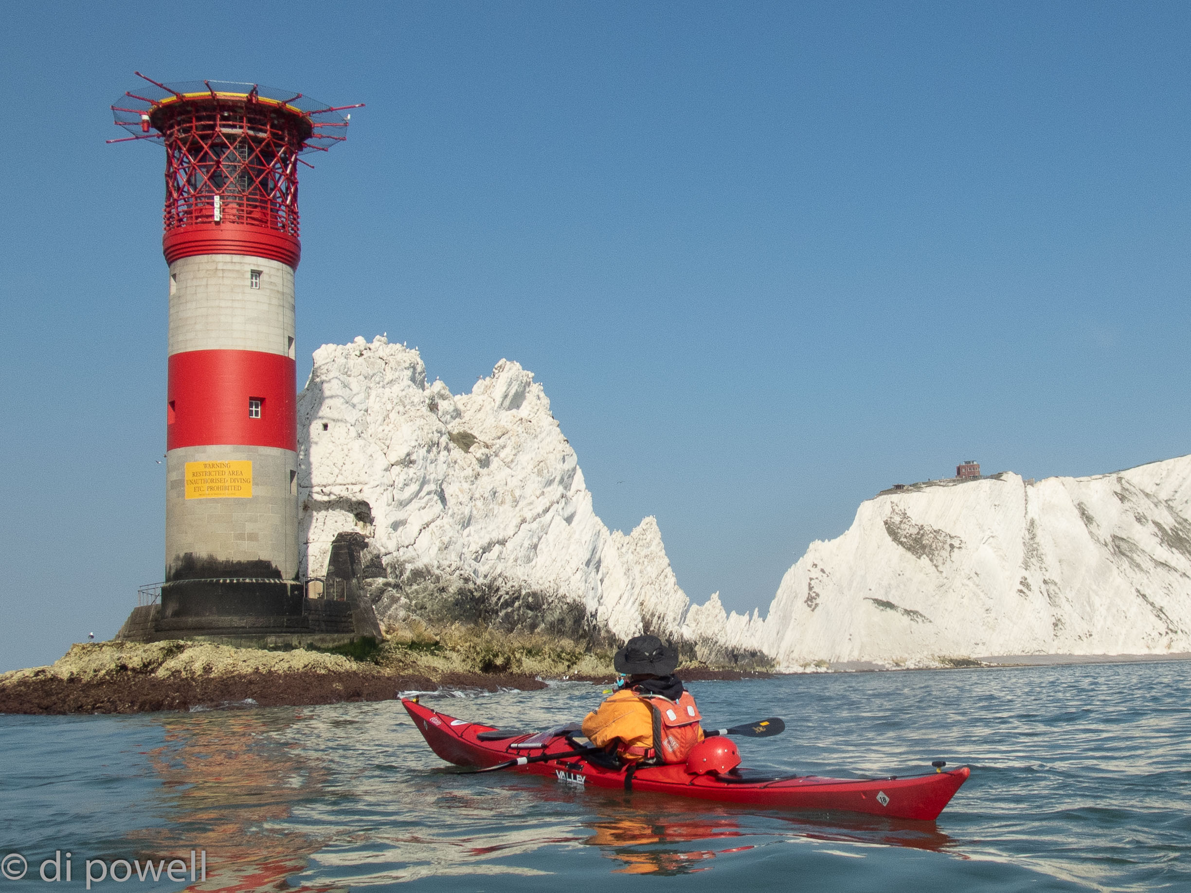
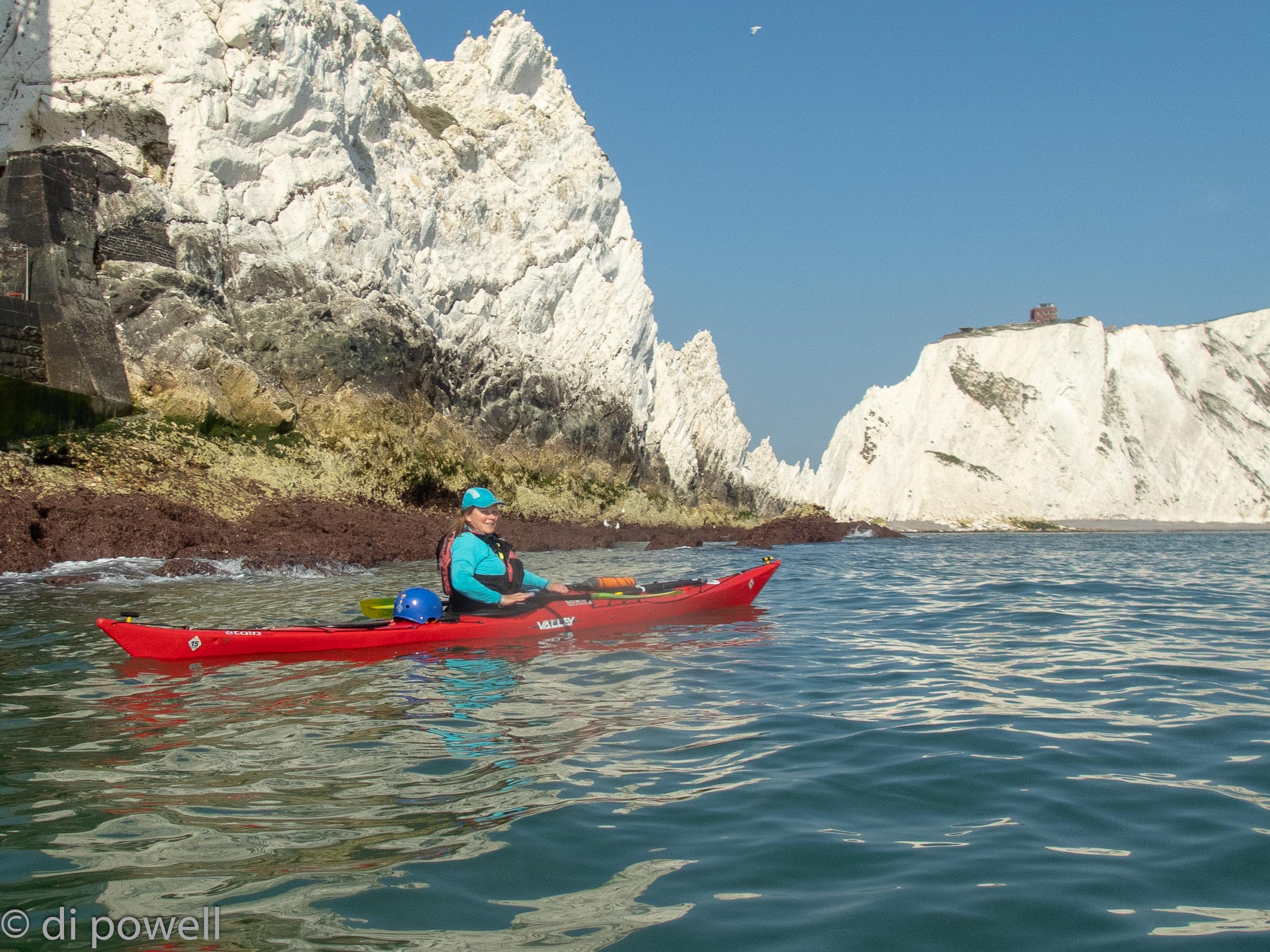
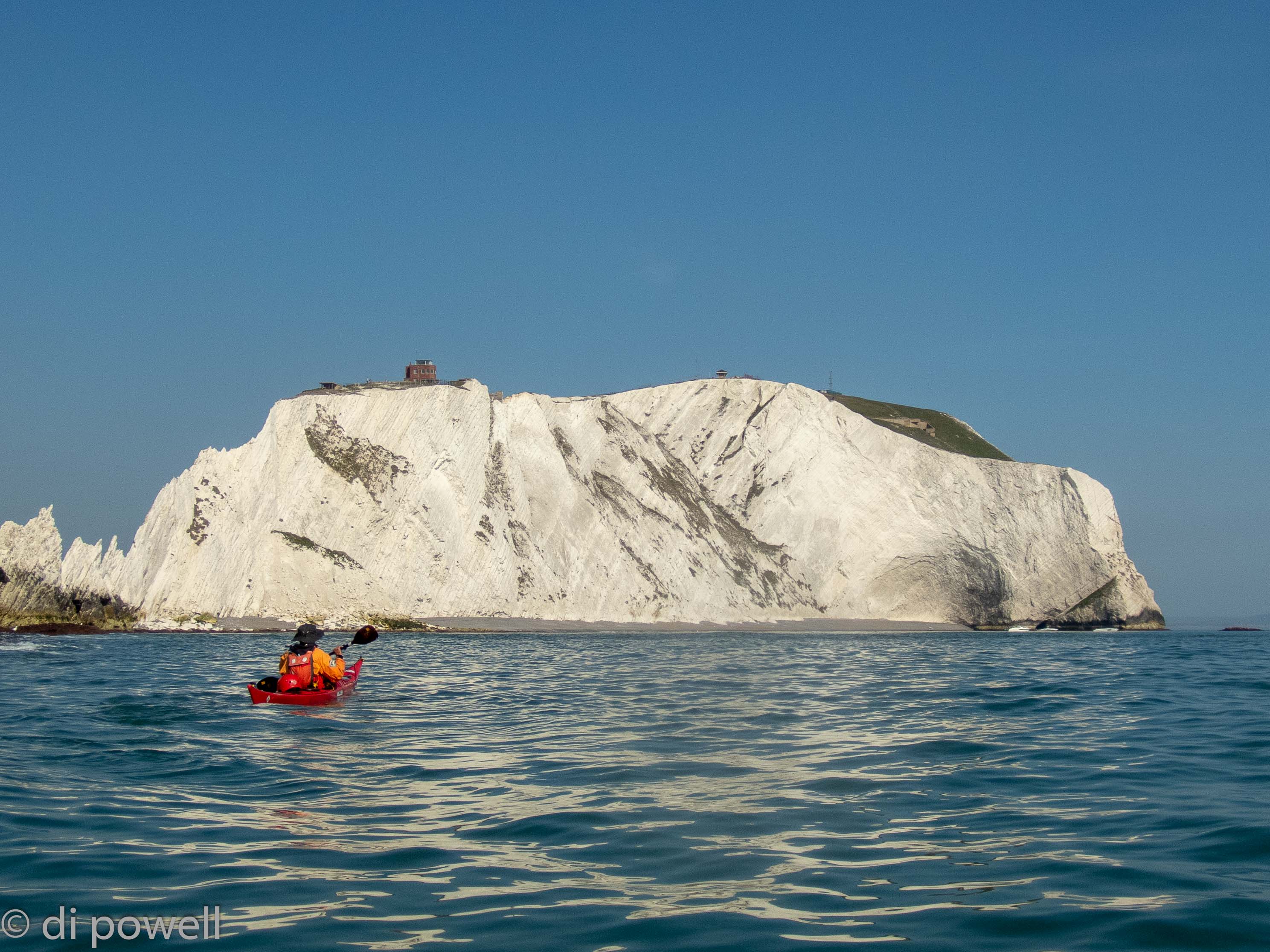
It wasn’t long before we reached The Needles and as the winds were light, we were able to go around the lighthouse, get some fabulous pictures and take a closer look at the white rock face:
The rock face here is made from the same material as at South Purbeck, which the CKC team had visited a few weeks earlier, including Old Harry’s Rock, The Little Pinnacle and Pinnacle. It was amazing to think that all these cliffs were made up from the shells (coccoliths) of small sea organisms called coccolithophores, millions of years ago in the Jurassic period. Somewhat fittingly, these organisms look like tiny Easter eggs under the microscope! The next expedition planned by CKC is to the Jurassic Coast to investigate the composition and erosion of these cliffs further (and to do some paddling in world class scenery).
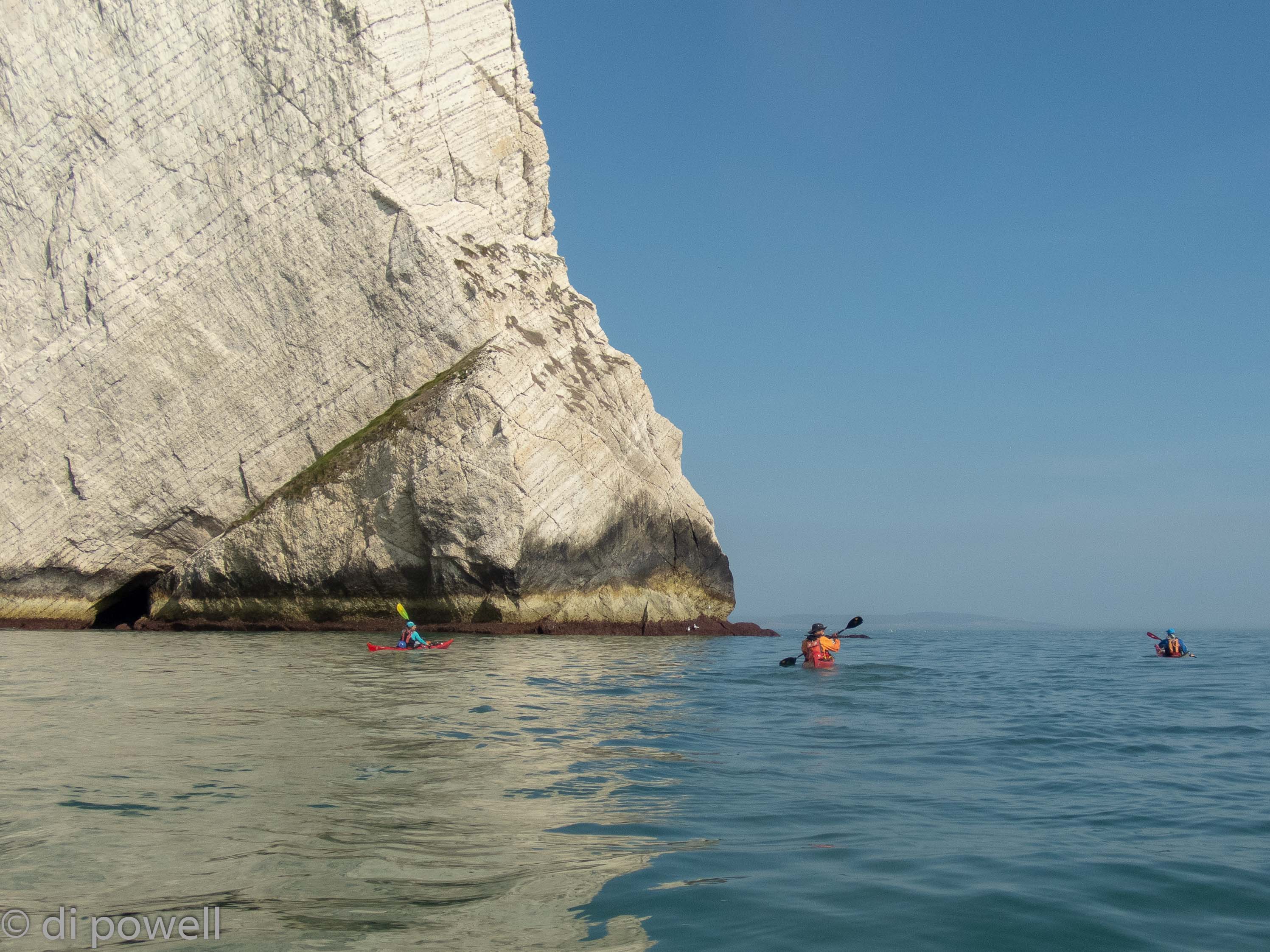
At Sun Rock we also saw the bedding plane lines folded upwards to form a monocline ridge, although it really looked like someone had just drawn parallel lines on the rock:
After we turned the corner at Sun Rock it was time to put in some serious paddling. So far we had had a tidal stream assist of about 3 knots to cover the 9km to The Needles, now we would have less than 1 knot and still needed to cover 14km before sunset to get to our campsite at Grange Farm, near Brighstone.
Although we were able to do that in plenty of time, we hadn’t counted on the walk up the 30m cliff with all our kit to get to the campsite. However, once there and set up in our tents, we had fantastic views of the coastline we had just paddled, as well as the coastline we would paddle tomorrow.
We ate fish and chips in front of our tents (from the mobile van that visits the camp site every Friday) and when we thought an excellent day’s paddling couldn’t get better, watched a huge red full moon appear on the horizon and slowly rise.
On Easter Saturday, we set off with some trepidation to round St Catherine’s Point due to the tide races that form here, and can be very large on springs. Initially with NE F3 winds we were protected by the island and made good progress, covering the 10km to the point quickly. At the point we experienced some limited tidal race conditions as well as some clapotis from the reflected waves, but everything well within the group’s abilities.
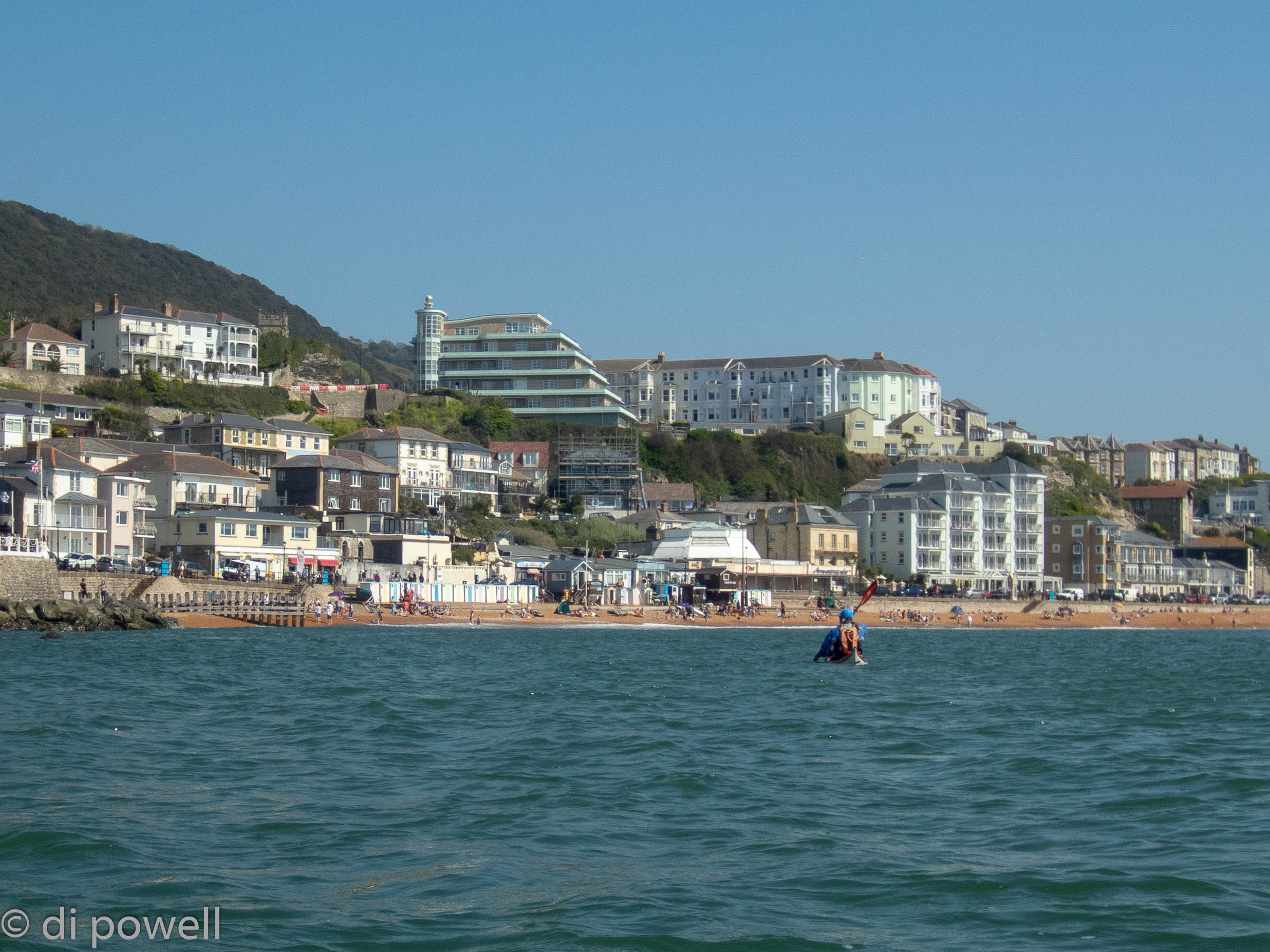
Harder work was the paddle to Ventnor against both the tide and wind. At Ventnor, we took a break spending the afternoon with the holidaymakers on the beach, while waiting for the tide to turn in our favour:
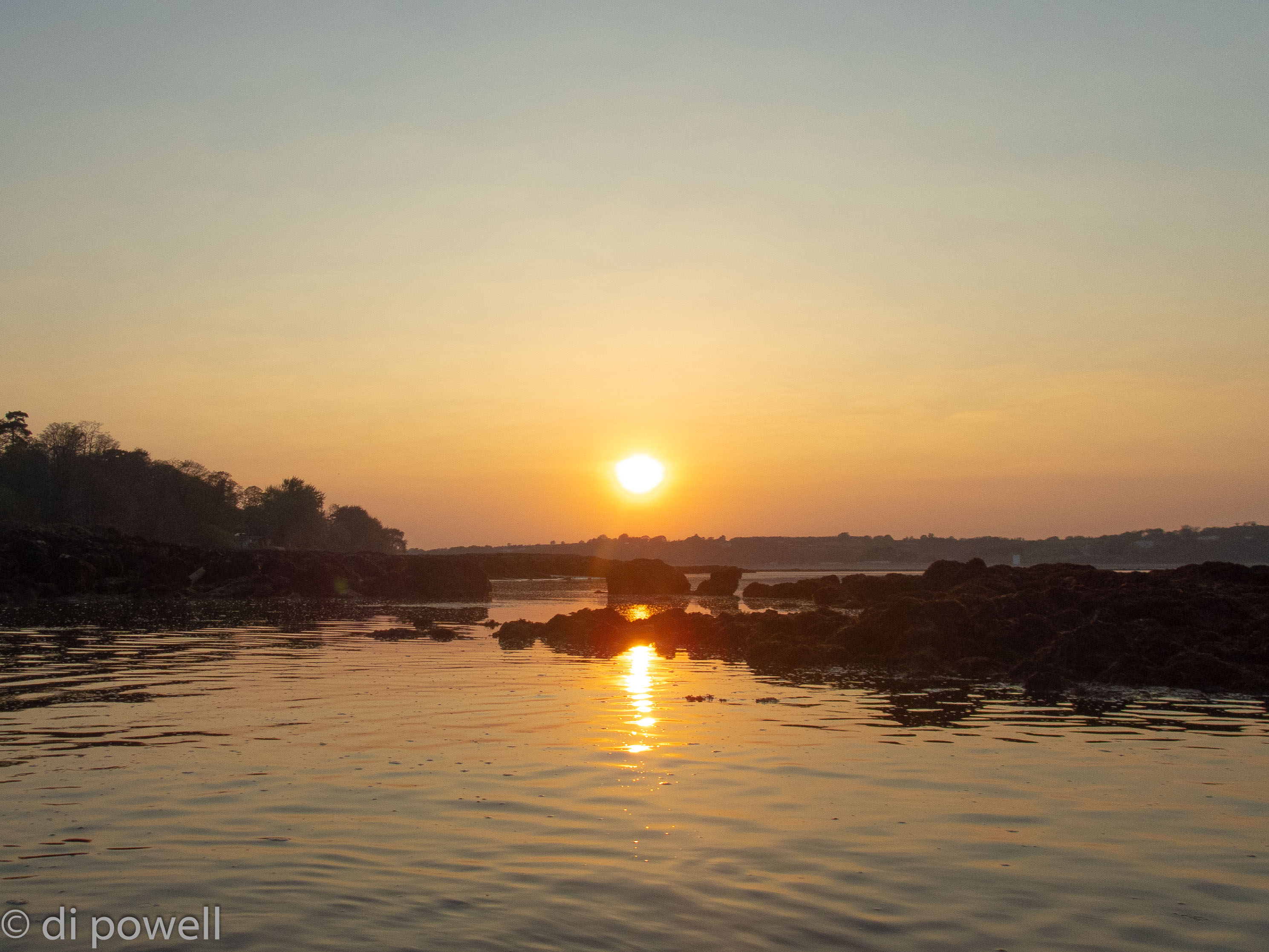
On departure from Ventnor, we found the winds had dropped to F2 and with the tidal stream now in our favour were able to round Dunnose to Shanklin, then head directly across Sandown Bay to Culver Cliff. The winds dropped further to F1 and tracking across Whitecliff Bay we came across rock ledges and breaking water close to the shoreline. Rounding the headland at Bembridge we started to search for locations to wild camp for the night. Putting in at Bembridge Beach through a gap in the ledges, we were treated to a magnificent sunset (see below) and shortly after putting up tents and cooking, to another unbelievably massive red moonrise.
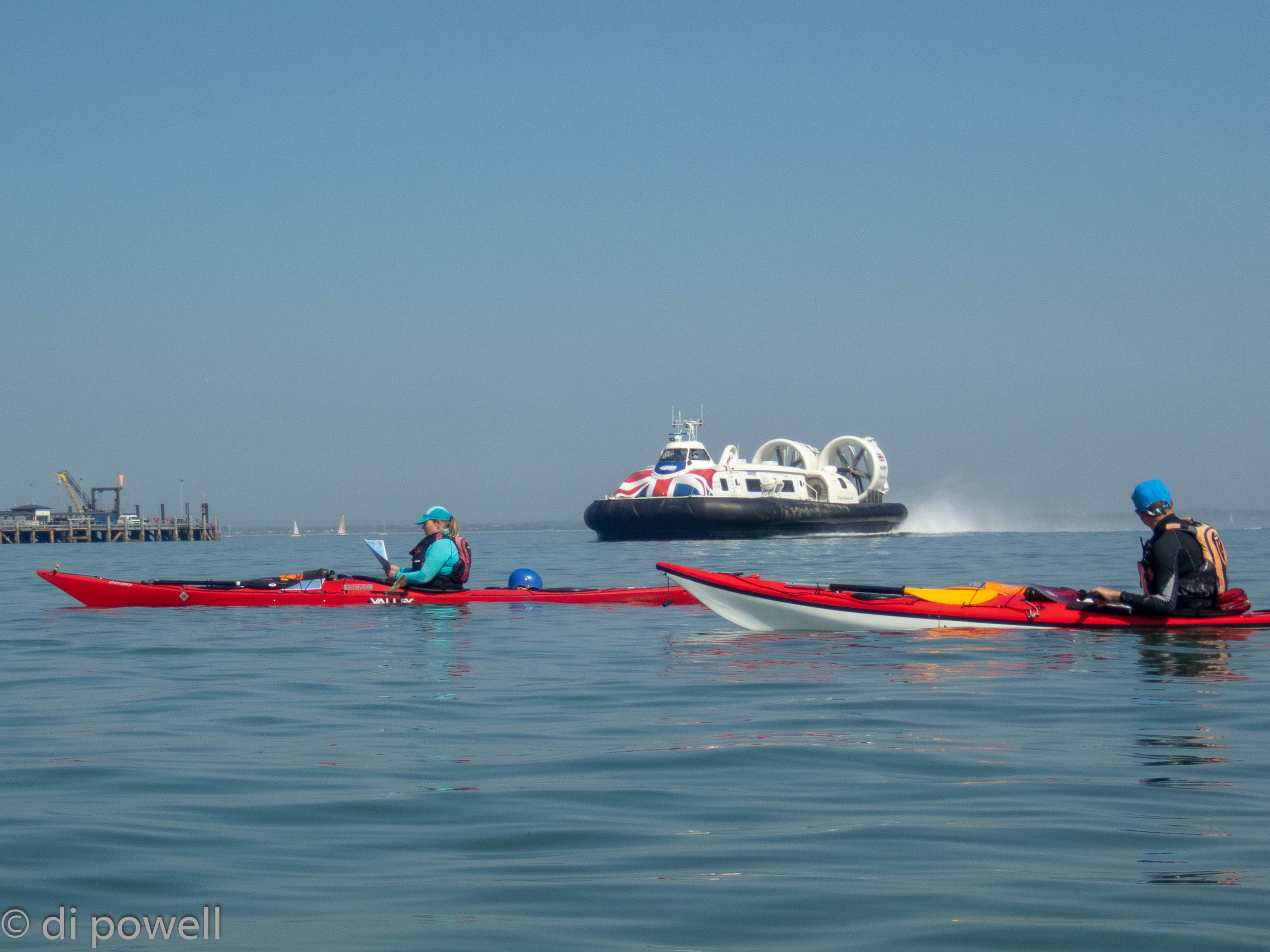
Easter Sunday started, as all good Easter Sundays do, with Easter eggs. Both from our own collection and from some given to use by locals on the beach early in the morning. Leaving Bembridge in light winds (F1) and sunshine, we made good time to Ryde and with the high water, were able to cross the Ryde Sands without difficulty. Arriving at Ryde, the main hazard was to dodge the hovercraft zipping in and out of the port, sometimes moving sideways:
Heading under the pier and on towards Osbourne House in the distance, meant that we were able to stop on a small beach for lunch before rounding the corner to Cowes. At Cowes, dodging more shipping traffic to cross the harbour entrance, we started to cross to the north side of The Solent to Lymington with the strong tidal flow. Once more dodging the shipping traffic, we crossed the harbour entrance to see Hurst Castle on the horizon in the hazy sunshine. A final push got us back to Keyhaven, just in time for an evening meal in the sunshine of the beer garden at the local pub, The Gun Inn.
We had really needed those Easter eggs to help us cover 39km on the last day (along with some tidal assistance)!


Leave a Reply